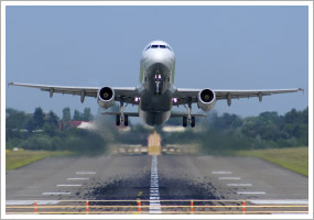
 A sample question from the private pilot knowledge test question bank asks: "When departing behind a heavy aircraft, the pilot should avoid wake turbulence by maneuvering the aircraft
 A) below and downwind from the heavy aircraft.
B) above and upwind from the heavy aircraft.
C) below and upwind from the heavy aircraft.
When clearing you for takeoff or landing, the tower controller may add to your clearance the phrase "Caution wake turbulence" from the preceding arrival or departure. Although it may seem obvious to the pilot of a single-engine trainer that the preceding aircraft is heavy, the use of the term has special significance, as explained in Chapter 7 of the Aeronautical Information Manual (AIM): "For purposes of Wake Turbulence Separation Minima, ATC classifies aircraft as Heavy, Large, and Small as follows: Heavy—Aircraft capable of takeoff weights of more than 255,000 pounds whether or not they are operating at this weight during a particular phase of flight. Large—Aircraft of more than 41,000 pounds maximum certificated takeoff weight, up to 255,000 pounds. Small—Aircraft of 41,000 pounds or less maximum certificated takeoff weight."
Considering those definitions, the AIM describes aircraft separation requirements: "Because of the possible effects of wake turbulence, controllers are required to apply no less than specified minimum separation for aircraft operating behind a heavy jet and, in certain instances, behind large nonheavy aircraft (i.e., B757 aircraft)," as Elizabeth A. Tennyson explains in the AOPA Flight Training May 2001 column "Aviation Speak: Heavy."
If you find yourself facing wake turbulence on departure, you may choose to ask the tower to approve an early turn (upwind of the wake's probable drift track) when altitude permits after takeoff. Make this request when you contact the tower for your takeoff clearance. Don't wait until you are airborne, when traffic concerns or frequency congestion can delay approval.
Stay alert to hearing the word heavy on the ATC frequency!
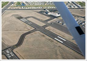
 The instrument landing system (ILS) is a ground-based system that guides aircraft to safe landings during periods of low visibility or poor weather. It guides the pilot down an imaginary ramp at a shallow 3-degree angle that leads to the touchdown zone of the runway surface.
 The Wide Area Augmentation System (WAAS) is a special system that supplements the space-based satellite signals of the primary GPS constellation. WAAS improves the accuracy of GPS for specially equipped aircraft to a few feet, versus tens of feet, allowing the use of GPS for precision approaches all the way down to a runway's surface. WAAS corrects for GPS signal errors caused by ionospheric disturbances, timing errors, and satellite orbit errors. It also provides integrity information regarding the health of each GPS satellite.
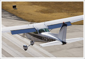
 Today, many VFR pilots use handheld GPS navigational units with color or black and white moving map displays. These handheld GPS receivers cost anywhere from $500 to $1,800 and can guide pilots safely through their flights in visual flight rules (VFR) conditions. An updated "Nav Database" with information about airports and airspace can be loaded into these units every 28 days, although most handheld units are only updated by their owners once each year.
 These IFR-approved GPS units must be permanently installed in the aircraft and must be capable of self-monitoring their own health or integrity, as well as the integrity of the GPS satellite signals.
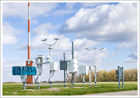 Technology has brought an enormous increase in the amount of information—especially weather information—at a pilot's fingertips. During the preflight briefing, you can study conditions at multiple reporting points, thanks to automated surface observation systems (ASOSs) and automated weather observation systems (AWOSs) at many airports. And those same systems are there to help you plan your arrival at many destinations. Include monitoring the station's report on your list of arrival duties before you contact the tower or request an airport advisory at nontowered airports.